After much online speculation, the National Mapping and Resource Information Authority (NAMRIA) revealed that the geographical midpoint of Metro Manila is the City of San Juan.
Freedom of Information (FOI) Philippines shared an infographic of Metro Manila and highlighted the area of San Juan to prove NAMRIA’s findings.
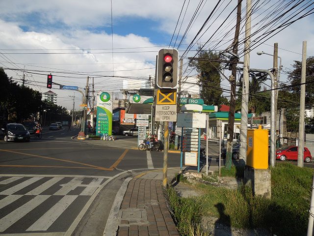
San Juan is a first-class highly urbanized city that is considered a major shopping hub where different boutique and bargain retail can be found.
Its most famous spots are Greenhills Shopping Center and Santolan Town Plaza.
The city is bounded by Quezon City in north and east, Mandaluyong in the south and Manila in the west.
Meanwhile, FOI Philipines is a government office that was created under Executive Order 02 by President Rodrigo Duterte wherein executive departments, agencies, bureaus and offices are supposed to disclose public records, contracts, transactions and any information as requested by anyone through their website.
The office then supplies the information that they have received from a government agency and then forwards it to the individual.
The government agency responsible for providing the information on the query about the metropolis’ midpoint was NAMRIA.
It is an office under the Department of Environment and Natural Resources responsible for providing mapmaking services to the public.
It also mandated “to act as the central mapping agency, depository, and distribution facility for natural resources data in the form of maps, charts, texts, and statistics.”
The agency is additionally responsible for maintaining the Philippine Geodetic Reference System, the primary reference for all surveying and mapping in the country.
For a fair commute
Social media users in both Facebook and Twitter debated about the geographical center of Metro Manila.
According to the calculations of Twitter user “sohkatoa” via Google Maps, the midpoint was in Glorietta, Makati.
In terms of distance, ang halfway ng North at South ay Glorietta
Accdg. to Google Maps, Alabang Town Center to Trinoma is 34km.
Alabang to Glorietta is 17km
Trinoma to Glorietta is also 17km pic.twitter.com/hJPM98gGMm— Kat🦉 (@sohkatoa) February 18, 2019
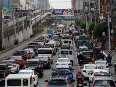
The plotting of the midpoint was done so that residents from varying parts of the metropolis could meet each other in what is considered a geographically favorable way for both parties, particularly northern and southern residents.
Facebook user Arvin Boller, however, countered the claim and said that the midpoint was in Ortigas via MeetWays, a website that calculates halfway points of meetups.
Boller reasoned that “a lot of Northerners live in Novaliches” and as such, used SM Fairview as the landmark of the northern area.
“So I revised the calculation and entered SM Fairview and Alabang Town Center as landmarks. Furthermore, Google Maps often includes the Skyway in its algorithm, so I removed it along with other toll roads,” he wrote.
Esquire Philippines did its own calculation of the metropolis’ midpoint and found out that it was in Ortigas as well.
They plotted Fairview Terraces as the northern area’s landmark while Alabang Town Center was the landmark of the south.
Unlike the two social media users, they estimated the geographical center through a website called Geomidpoint.
“Now, when we plotted the two destinations on the site, the literal midpoint is somewhere in Mandaluyong, an unnamed building in a certain Barangay Mauway. And the nearest mall, or most likely meeting point for friends in this area is Shangri-La Plaza in Ortigas,” they reported.
The online magazine also considered the traffic time and the available modes of transportation in another calculation via Whatshalfway.
If distance was to be considered among northern and southern residents, the midpoint was calculated to be in SM Megamall at Mandaluyong.
If the time spent on the road were to be prioritized, the midpoint was “somewhere between Cubao and Pasig or near Camp Crame.”

