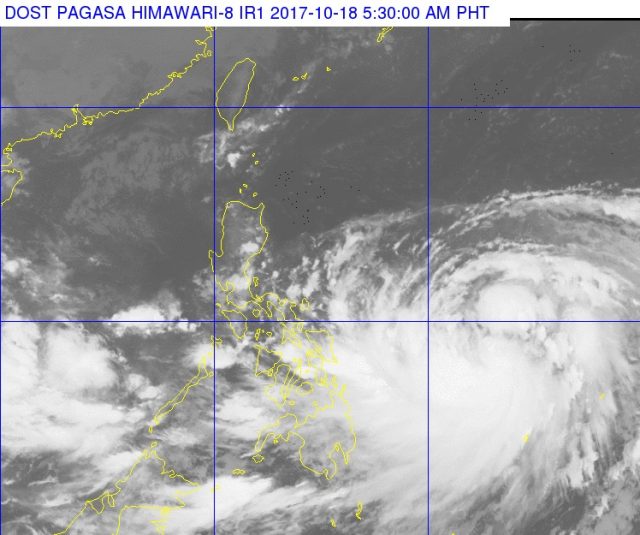
MANILA, Philippines — It will be rainy throughout most of the country and seas will be moderate to rough due Wednesday, October 18 to typhoon “Paolo” and a low pressure area 260 kilometers west northwest off Palawan.
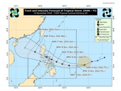
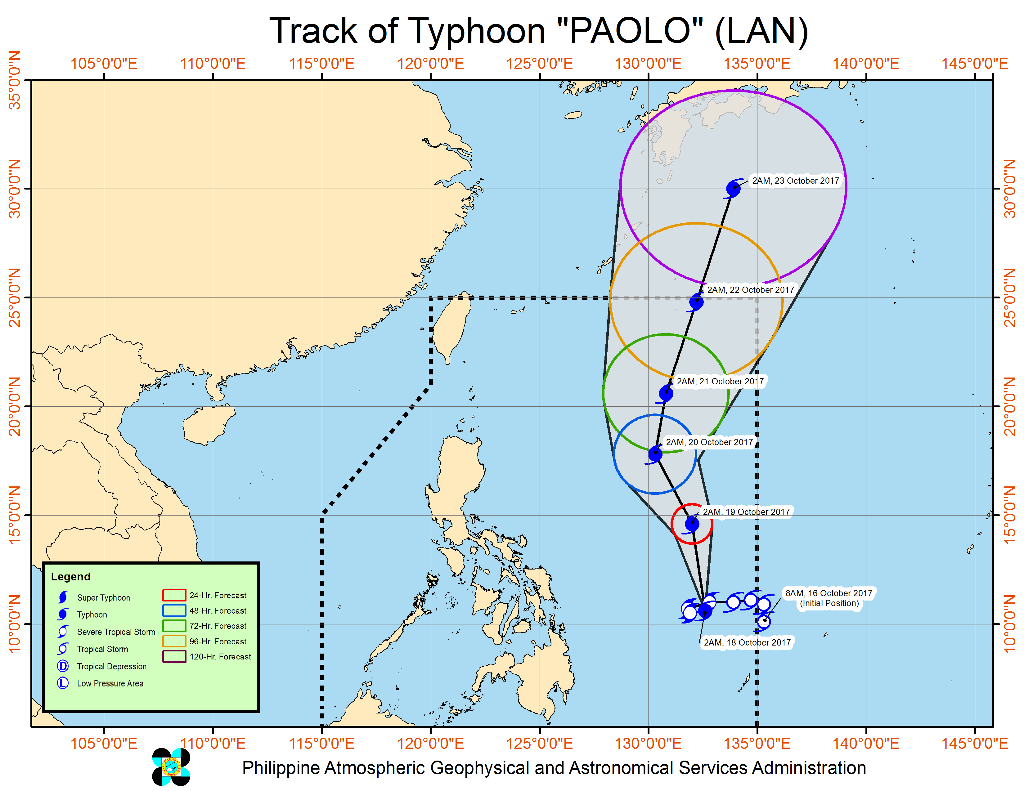
The Philippine Atmospheric, Geophysical and Astronomical Services Administration last tracked “Paolo” 765 kilometers east of Guiuan, Eastern Samar, or 745 kilometers east of Hinatuan, Surigao del Sur packing maximum sustained winds of 120 kilometers per hour near the center as it moved north-northwest at 17 kph, or away from the country.
The storm is not expected to make landfall but is expected to bring cloudy skies with scattered rains and thunderstorms over Metro Manila, Calabarzon, Bicol, the Visayas, Mindanao and the provinces of Mindoro, Marinduque, Romblon and Aurora.
No tropical cyclone warning signals have been raised.
It will be cloudy in the rest of Luzon although there could be isolated rain showers and thunderstorms in the afternoon or evening.
Palawan, on the other hand, is forecast to have cloudy skies with scattered rains and thunderstorms due to the LPA.
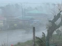
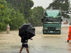
Pagasa warned of possible flooding and landslides, as well as strong winds and lightning.

